Profile
1991
Our office was founded as the Vermessungsbüro Flach & Ziesemann GbR with the same graduate engineers, Mr. Gerd Flach and Mr. Ulf Ziesemann. Originally 3 small offices (Gotha, Jena, Ilmenau) developed into an efficient medium-sized surveying office in Weimar. 1995 Based on economic and legal considerations, we founded the Vermessungsbüro Flach & Ziesemann GmbH. With his appointment as a publicly appointed surveyor of the Free State of Thuringia, Mr. Ziesemann was forced to spin off his office from the company.
2001
Since the change of name in 2001, we have been operating successfully on the market as Vermessungsbüro Flach GmbH. Since 2007 work on sites in Norway.
Managment: Dipl.Verm.Ing.(TU) Gerd Flach
Company Headquarters: Tröchtelborn HRB Jena 107582 / Org.Nr. 991 207 139
Employees: We currently employ 3 graduate engineers, 2 surveying technicians,
1 CAD specialist, 1 businessman and various measuring assistants.
Conclusion: We can carry out field work for you with 3 measuring teams and have
Technical equipment
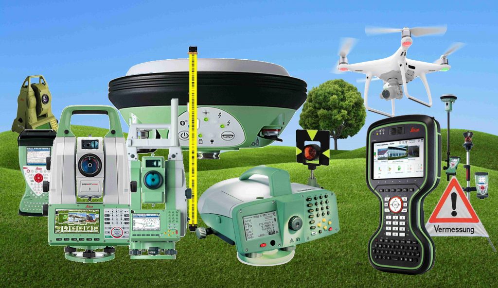
Tachymeter und Totalstationen:
5 automatic reflectorless measuring systems (total stations with remote control) for engineering surveying and monitoring.
– 1 LEICA TS60 mit CS20
– 1 LEICA MS60 mit CS20
– 1 LEICA TS16 mit CS20
– 2 LEICA TCRP 1201/1201+ mit CS15
– 1 LEICA TCRP 1203+ mit CS15
1 LEICA TCA1800 automatic measuring system for monitoring applications
GPS:
– 1 LEICA GS15
– 3 LEICA GS14
– 2 LEICA System 1200
Scanner:
– FARO FOCUS 3D X 330
Camera:
– Insta 360 x5 360° digital camera
Nivelliere:
2 fine leveling equipment with tested invar band slats
– 2 LEICA DNA03
– Various levels and optical additives
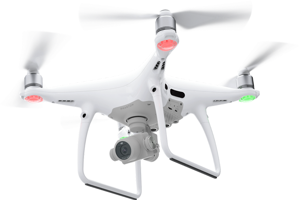
Multicopter (UAV):
3 photogrammetric surveying drones
– 2 DJI Phantom 4 Plus
– 1 Multicopter DJI Mavic 3 Enterprise (M3E)
Monitoring:
Various monitoring systems
LEICA GeoMoS for real-time monitoring with online connection.
Linking of several measuring systems possible
Sonstiges:
– Motorized inflatable boat with echo sounder measuring equipment (GPS and tachymeter)
– Digital vertical inclinometer
– Stationary hose scale system (digital)
Office equipment
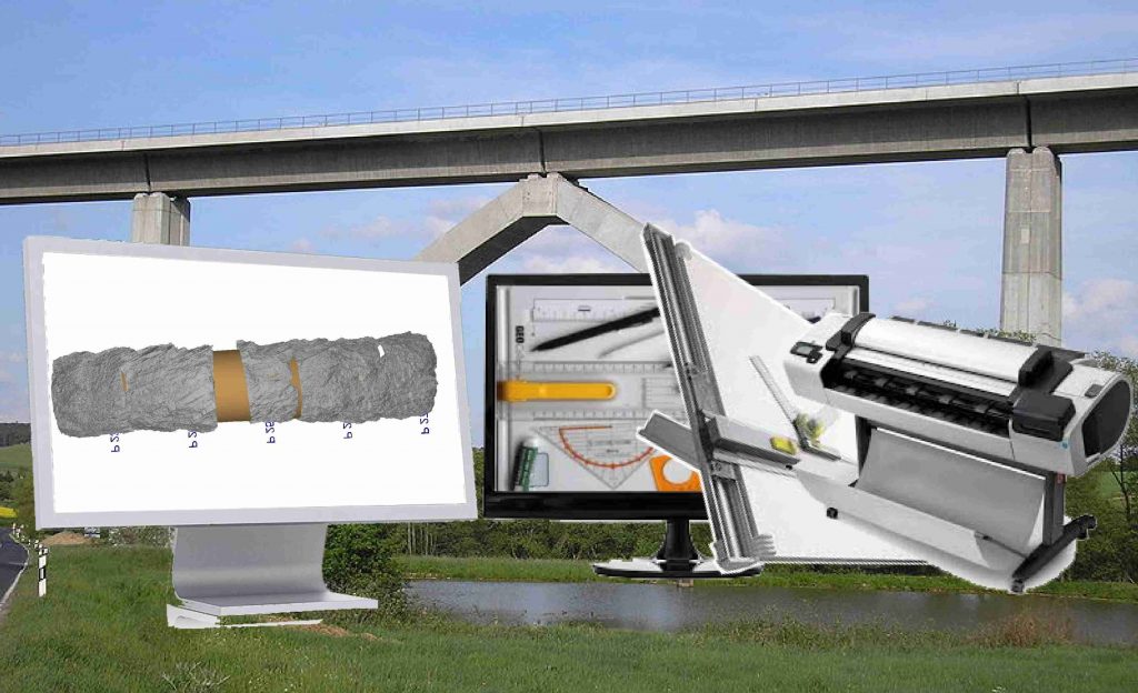
- CADdy office license (surveying/technical calculations, mapping/digitization, digital terrain model, network adjustment)
- AUTODESK AEC-Collection: C3D, MAP, Revit, Recap
- Rail routes via VERM.ESN
- Network adjustment via BETAN/NEPTAN(GPS)
- Level calculation via Nigra
- GEMINI as Norwegian standard program
- Faro Scene to create point clouds from scanning
- 3DSurvey to create point cloud from arial or terrestrical photopictures
- Printer, plotter, scanner
Quicksupport over TeamViewer

We take to the skies for you! Aerial surveying by drone.